Year 1- Creating Sketch Maps
Date: 21st Oct 2026 @ 4:06pm
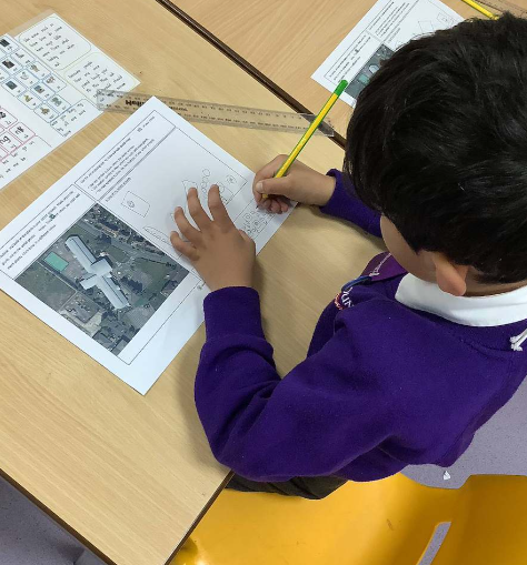
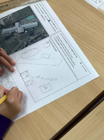
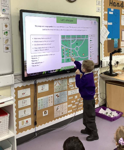
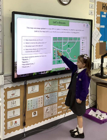
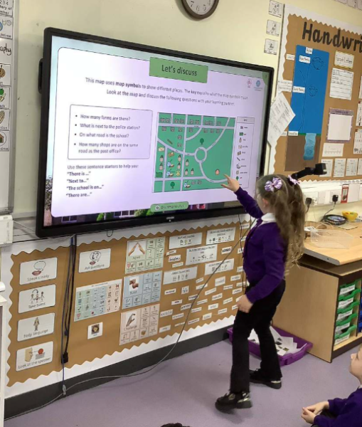
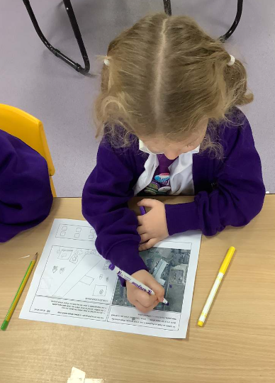
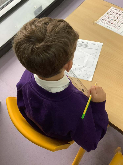
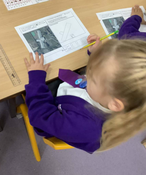
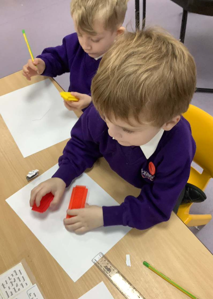
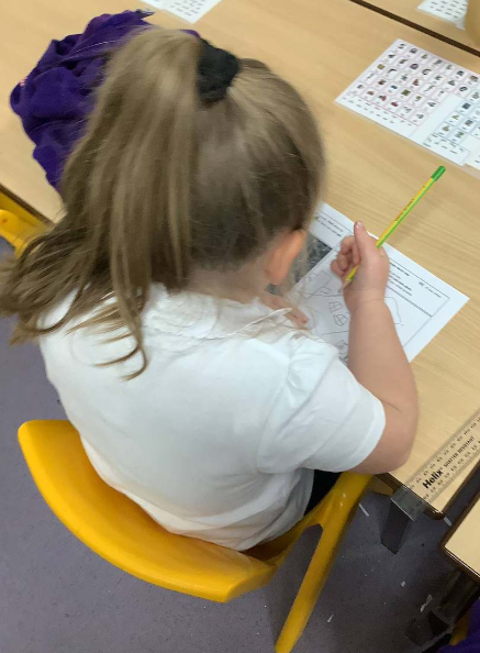
To continue our learning, the children then used aerial photographs of the school to look at our grounds from a different perspective. They learned how maps help us represent places and worked hard to create their own simple sketch maps. We discussed the importance of including key features and created simple map keys to help explain the symbols we had used.
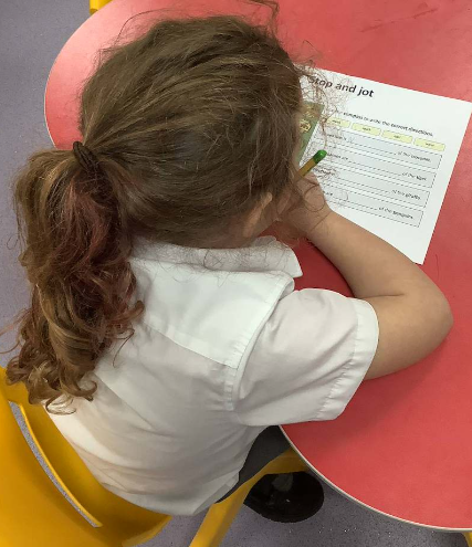
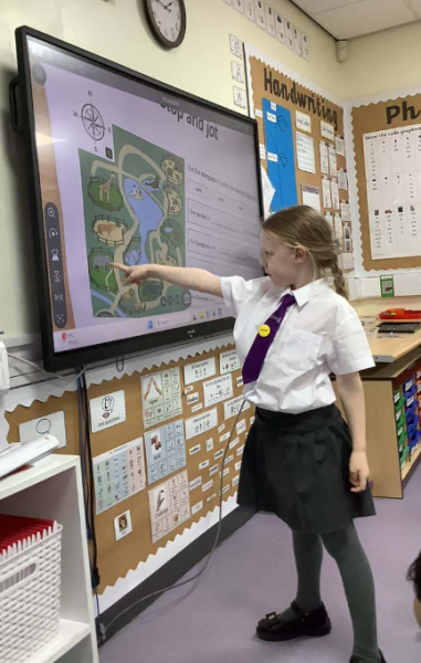
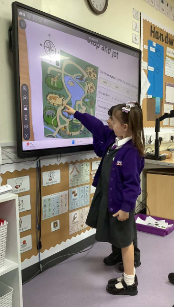
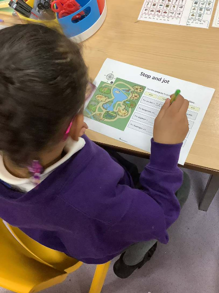
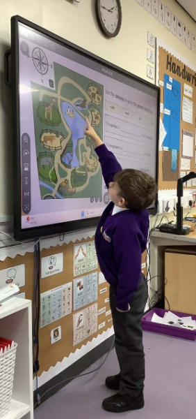
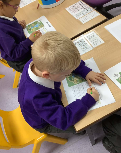
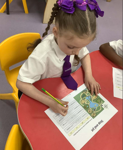
To complete our learning, we focused on using directional language and simple compass directions. The children practised giving and following instructions to navigate around the school grounds and used words such as north, south, east and west. They also investigated different areas of the school to identify where plants grow best and considered why some locations are more suitable for plant life than others.
We are incredibly proud of the enthusiasm, curiosity and growing geographical knowledge shown by all of our Year 1 children. They have developed valuable mapping, observation and navigation skills and have loved becoming explorers within their own school environment! 🌿🗺️📍