Year 1 Map Symbols
Date: 1st Dec 2025 @ 6:37pm
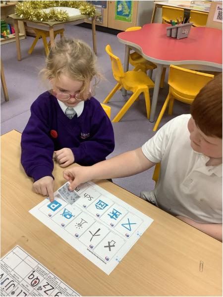
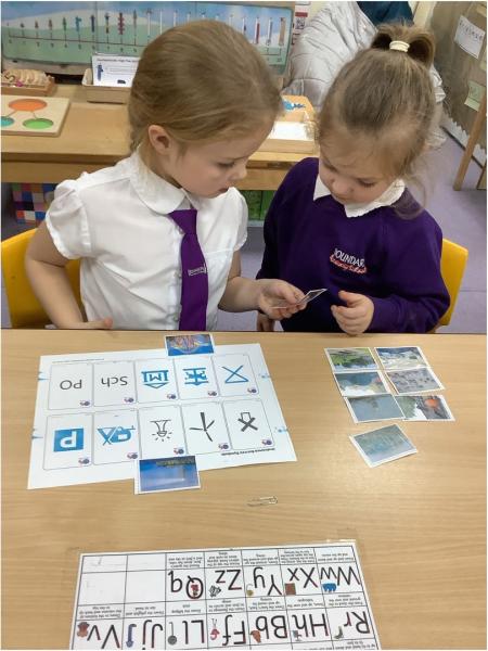
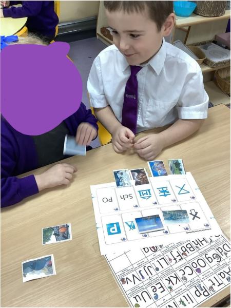
Today we learnt to recognise the symbols used on an Ordnance Survey map. We learnt that these maps are used to help people find places of interest in an area. We then looked at different map symbols together and worked out what each meant. We learnt that symbols are used to save space on a map and clearly show where different things area located.